Seeking solutions to the unique challenges of AVs on rural roads
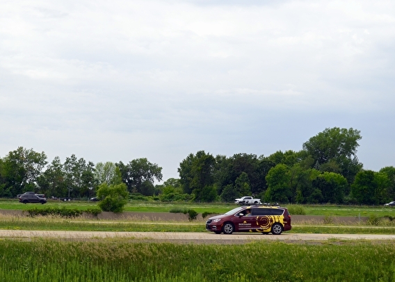
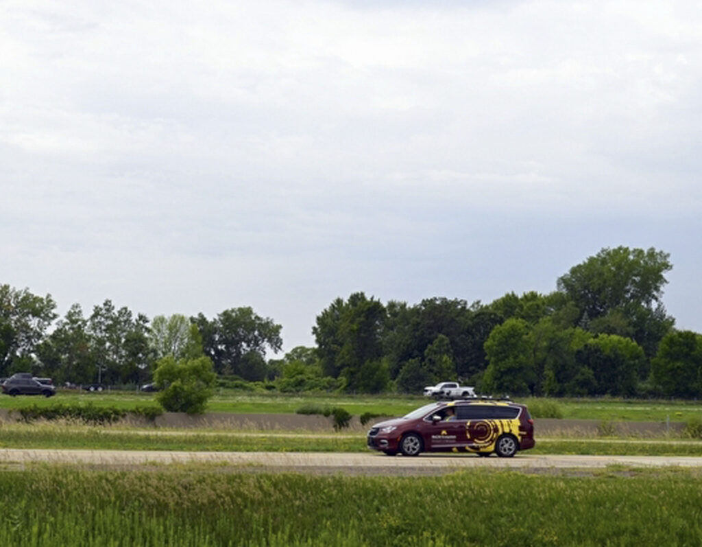
Photo credit: Center for Transportation Studies, University of Minnesota
Rural America is home to less than 20 percent of the country’s population, yet accounts for 75 percent of its roads. Rural roads are also significantly more dangerous than urban roads; the risk of dying in a car crash is 62 percent higher in rural areas. In Minnesota, about 65 percent of fatal or serious car crashes occur at rural intersections. Because a majority of these crashes are caused by human error, autonomous vehicles (AVs) offer a unique opportunity to improve rural road safety.
However, low-volume rural roads present special challenges for AVs. Low-volume roads are often narrow, lack pavement markings, may not be plowed for snow removal, and may have trees and other objects close to the side of the road. Rural intersections may lack delineation and signage normally provided on higher-volume roadways. These factors pose major challenges to autonomous driving, since even Level 2 AVs (vehicles equipped with advanced driver-assistance systems) currently use camera-based feedback to operate and so depend on pavement markings and signage.
Considering these challenges, a research team explored alternative solutions for AV operation on rural roads without requiring the use of lane markings and signage. Led by Rajesh Rajamani, a University of Minnesota professor of mechanical engineering and CTS scholar, the project employed the MnCAV Ecosystem’s automated vehicle to test multiple approaches that included:
- Dual-antenna Global Navigation Satellite System (GNSS) measurement—which is more accurate than GPS—enhanced with a real-time correction system for further precision
- Single-antenna GNSS measurements
- Low-cost radars
- Lidar-based positioning techniques
The approaches were tested on rural main and side roads, downtown Minneapolis streets, and local non-downtown roads with and without tree obstructions.
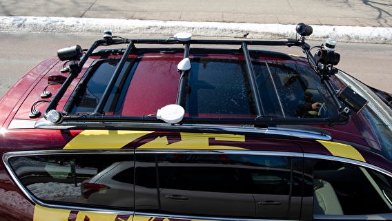
Photo credit: Center for Transportation Studies, University of Minnesota
On rural roads without obstruction from tree cover, the dual-antenna GNSS delivered promising results, with more than 20 satellites typically available for accurate position calculation. This method provided vehicle position accuracy better than 0.1 meters and supported autonomous steering control as well as identifying and handling intersections. However, on any road—rural or urban—with dense tree or building coverage, satellite visibility was lost completely on multiple occasions, reducing the effectiveness of dual-antenna GNSS. Performance could potentially be improved by driving only on routes with some open-sky visibility.
Another limitation to this approach is the high cost of dual-antenna GNSS. Testing a low-cost single-antenna GNSS, the researchers found the system was reliable for positioning on rural roads with some open-sky visibility. Experimental results also demonstrated strong performance from the low-cost radar. Results from lidar-based techniques suggested that pre-made maps supported more reliable positioning over real-time estimation and map-building.
The researchers suggest future studies focus on other rural locations to support their initial results as well as on safe AV passage through rural intersections. Alternate techniques to handle GNSS outages resulting from dense tree cover should also be explored.
This project was funded by the US Department of Transportation through the Center for Connected and Automated Transportation (CCAT) at the University of Michigan. CTS is a research partner within the CCAT consortium of participating universities.
This story was written by Krysta Rzeszutek, University of Minnesota Center for Transportation Studies digital editor.