
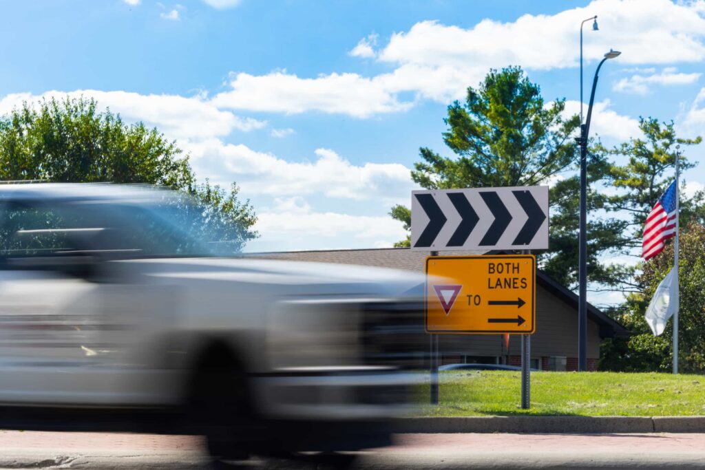
Connected technologies may improve ped and bike safety in roundabouts
Photo credit: Evan Dougherty/Michigan Engineering, Communications & Marketing
Roundabouts may be safer for drivers, but not necessarily for pedestrians or bicyclists.
In many new and redesigned roadways across Minnesota, roundabouts are replacing traditional intersections. Increasingly, data is showing they can reduce serious crashes and congestion compared to both controlled and unsignalized intersections — with one critical concern: When someone walking or biking enters a roundabout, drivers often fail to yield. Inconsistent roundabout design, high traffic volumes, driver unfamiliarity with the intersection, and attention to other vehicle speeds and maneuvers create a complex landscape of variables that make it challenging for some drivers to notice vulnerable road users.
One potential solution is entering the scene with the rise of connected vehicle technologies. Advanced vehicle camera and sensor networks can enhance situational awareness by alerting a vehicle’s automated driving control unit (ACU) to pedestrians, cyclists, transit, and disruptions to the flow of traffic. The ACU can then respond by braking or swerving the vehicle to avoid a collision. An additional level of situational awareness comes with vehicle-to-vehicle (V2V) communication, which enables vehicles to share information with each other, and vehicle-to-everything (V2X) networks, allowing a vehicle to process data from an even larger area, reaching beyond its sensing zone to gain a expanded field of vision. V2X technologies collect and process data from edge devices installed on fixed and moving equipment to smooth the flow of traffic.
Although that scenario is largely still in the future, a research project by the Center for Connected and Automated Transportation (CCAT) is preparing for it. The project, a collaboration with the Minnesota Robotics Institute (MnRI) and a team led by UMN research engineer and CTS scholar Ted Morris, developed and tested a roadside sensor perception system at a roundabout in Richfield, Minnesota. This fixed-edge device used a fisheye camera to provide a 360-degree overview of the intersection. In a future in which most vehicles are equipped with connected technologies, such a device would serve as additional “eyes” to onboard vehicle sensors that otherwise cannot see vulnerable road users.
The busy two-lane intersection at 66th Street and Portland Avenue selected for the study presented numerous traffic inputs, including two bus lines as well as nearby attractions that contributed to area traffic levels. The researchers installed a pixel fisheye camera capable of capturing up to 30 frames per second on a 35-foot traffic camera pole; an adjacent enclosed cabinet contained edge computing equipment, a 5G router, and a Wi-Fi antenna to transmit data.
While a fisheye camera provides an expansive overview of the intersection, the curvilinear lens leads to significant image distortion, Morris explains. That’s where artificial intelligence and machine learning come in. AI models can learn to compensate for image distortion by comparing newly collected images against a data bank of imagery to correctly identify and classify vehicles, pedestrians, and other objects in an object-detection model called YOLO (You Only Look Once). This lightning-fast technology processes and transmits data in 8.33 milliseconds per image or less, depending on the camera. However, in this study YOLO’s ability to classify cars exceeded its accuracy with the other classes of vehicles and pedestrians. (The car made up 85 percent of the images classified at this intersection.)
Having fewer pedestrians in the datasets likely contributed to this, as well as limits on the image resolution, which makes features less discernible, especially for smaller objects like pedestrians, he explained.
“Object tracking for vehicles was relatively robust, but performance for pedestrians was not satisfactory — or was inconclusive at best.”
Ted Morris, Research Engineer in Computer Science & Engineering, University of Minnesota
Morris says the research team will continue its studies using later YOLO models, higher resolution streaming video, and next-generation computational and communications hardware that will reduce latency (lag time) in image transmissions. “The latency can significantly impact the broadcasted reception of the detected and tracked road user data and will inform future CAV navigation and control studies,” he says.
This CCAT project is the first part of a planned two-part study. In the next phase, an active inference framework will use data collected by the roundabout system to predict traffic behaviors, along with an experimental vehicle that will help researchers understand how connected technologies and AI can keep vulnerable road users safe.
This research was funded by the U.S. Department of Transportation through the Center for Connected and Automated Transportation (CCAT) at the University of Michigan. CTS is a research partner within the CCAT consortium of participating universities.
This story was written by Amy Goetzman, University of Minnesota Center for Transportation Studies contributing writer.